
Fieldwork demands precision, especially when you’re mapping altitude in remote areas without reliable internet. Mastering offline workflows transforms raw elevation data into actionable intelligence that drives better decisions.
🗺️ Why Offline Altitude Mapping Matters in Modern Fieldwork
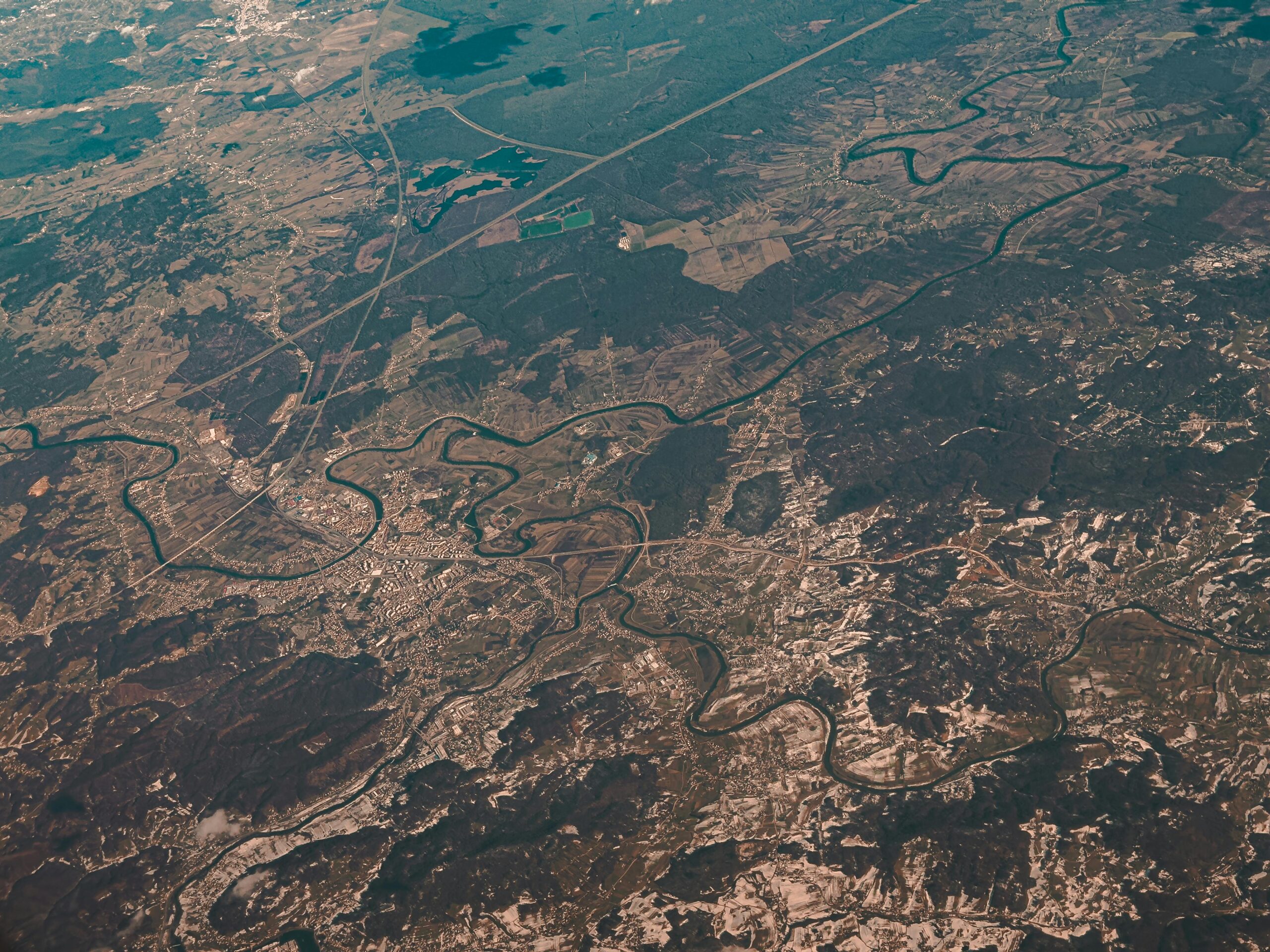
Remote data collection presents unique challenges that urban researchers rarely encounter. When you’re conducting geological surveys in mountain ranges, monitoring ecological changes in wilderness areas, or planning infrastructure in regions with limited connectivity, offline altitude mapping becomes essential rather than optional.
Traditional field methods relied on bulky equipment and paper maps, but modern mobile technology has revolutionized how we capture elevation data. The catch? Most powerful mapping tools require constant internet connectivity—a luxury unavailable in many field locations. This gap between technological capability and practical reality makes offline workflows critical for serious fieldwork.
Elevation data quality directly impacts project outcomes. Inaccurate altitude measurements can compromise hydrological studies, lead to miscalculated slope stability assessments, and invalidate ecological zone classifications. Your workflow needs to maintain data integrity from capture through analysis, regardless of network availability.
Essential Components of an Offline Altitude Mapping System
Building a reliable offline mapping workflow requires understanding the core elements that make field data collection possible without connectivity. Each component serves a specific purpose in the data lifecycle.
Hardware Considerations for Elevation Capture
Your device choice significantly affects data accuracy and field usability. Modern smartphones integrate GPS and barometric sensors that provide dual-method altitude measurement. GPS-derived elevations work well in open terrain but struggle under forest canopy or in narrow valleys. Barometric altimeters excel in these challenging environments but require calibration at known elevation points.
Battery management becomes critical during extended fieldwork. Cold weather dramatically reduces battery life, so carrying external power banks and keeping devices warm extends operational time. Ruggedized cases protect equipment from environmental damage while maintaining touchscreen functionality with gloves.
External GPS receivers with better antenna systems can improve accuracy by 50-70% compared to internal smartphone sensors. These Bluetooth-connected units capture more satellite signals and maintain better positioning in difficult terrain.
Software Architecture for Disconnected Environments
Offline mapping applications must pre-load base maps, topographic layers, and reference data before entering the field. Vector-based maps consume less storage than raster imagery while maintaining detail at multiple zoom levels. A typical regional survey might require 2-5 GB of map data, depending on area size and detail level.
Database architecture matters for field performance. Applications using SQLite or similar embedded databases provide faster query response and reliable data storage compared to simple file-based systems. This becomes noticeable when working with thousands of data points across multiple survey days.
For professionals seeking robust offline altitude mapping capabilities, several Android applications excel in field conditions. Tools like Locus Map GIS offer comprehensive offline functionality with altitude profiling, waypoint management, and data export options.
Pre-Field Planning: Setting Your Workflow for Success
Effective altitude mapping begins before leaving the office. Preparation determines whether you’ll capture usable data or waste valuable field time troubleshooting technical issues.
Map Data Acquisition and Preparation
Download topographic base maps covering your entire study area plus a 10-15% buffer zone to account for navigation adjustments. SRTM elevation data provides 30-meter resolution globally, while higher-resolution LIDAR data offers sub-meter accuracy where available.
Layer management prevents information overload on small screens. Create custom map themes showing only relevant data for specific tasks—contour intervals for terrain analysis, satellite imagery for feature identification, or simplified base maps for basic navigation.
Coordinate system consistency prevents costly positioning errors. Verify that all map layers, GPS settings, and export formats use the same datum and projection. WGS84 remains the standard for GPS work, but local surveys might require transformation to regional coordinate systems.
Establishing Ground Truth Reference Points
Calibration points with known elevations improve both GPS and barometric altitude accuracy. Survey benchmarks, topographic map references, and previously measured locations serve as ground truth. Recording at least three reference points per field day allows detection of systematic errors and sensor drift.
Weather data integration enhances barometric altitude calculations. Recording temperature, humidity, and pressure trends helps compensate for atmospheric changes during multi-hour surveys. Some workflows involve logging these parameters every 30-60 minutes for post-processing correction.
📍 Field Data Collection Techniques That Deliver Quality Results
Systematic capture methods separate professional-grade data from amateur recordings. Establishing and following consistent protocols ensures repeatability and scientific validity.
Point Measurement Strategies
Static positioning at measurement points dramatically improves altitude accuracy. Rather than recording on the move, pause for 30-60 seconds at each location to allow GPS averaging and barometric stabilization. This simple practice can reduce vertical error from ±10 meters to ±2-3 meters.
Multiple measurement averaging further refines accuracy. Recording three separate readings at each point and calculating the median eliminates outliers caused by temporary satellite geometry or atmospheric fluctuations. The marginal time investment yields significantly better data quality.
Metadata capture enriches raw altitude numbers with context. Recording timestamp, weather conditions, sensor confidence values, and site observations creates a comprehensive record that supports data validation and interpretation during analysis.
Track and Profile Recording Methods
Continuous elevation profiles along transects reveal terrain characteristics that point measurements miss. Setting appropriate recording intervals balances detail capture against storage consumption—typically 5-10 meters for detailed surveys or 20-30 meters for reconnaissance work.
Track filtering removes GPS jitter and outlier points that distort elevation profiles. Many applications offer real-time filtering, but preserving raw data alongside filtered versions enables post-processing with different algorithms. Conservative field filtering followed by sophisticated office analysis produces optimal results.
Slope and aspect calculation from tracked data requires understanding the relationship between horizontal position accuracy and derived slope values. A 5-meter horizontal error on a 30% slope translates to approximately 1.5 meters vertical uncertainty, which must factor into slope gradient calculations.
Managing Data Integrity Without Cloud Backup
Offline fieldwork eliminates automatic cloud synchronization safety nets. Deliberate data management prevents catastrophic loss from device failure, accidental deletion, or environmental damage.
Redundant Storage Protocols
Multi-device recording provides insurance against single-point failures. Running parallel systems on two devices—even if one simply logs basic GPS tracks while the other captures detailed data—ensures recovery options if primary equipment fails.
Daily exports to external storage create recovery points. Connecting to a laptop, tablet, or USB OTG drive each evening backs up the day’s work before returning to the field. Storing these backups separately from collection devices protects against loss of an entire equipment kit.
File format diversification supports long-term data accessibility. Exporting to both application-specific formats (for feature preservation) and universal formats like GPX or CSV (for broad compatibility) prevents vendor lock-in and ensures future accessibility.
Quality Assurance Checks in the Field
Evening data review identifies collection problems while corrective action remains possible. Loading the day’s data into visualization software reveals patterns like systematic elevation offsets, missing track segments, or anomalous readings that warrant re-measurement.
Statistical summary generation provides quick quality metrics. Calculating elevation range, point density, coordinate coverage, and measurement timestamps confirms complete coverage of planned survey areas. Simple checklists prevent overlooking survey sections that seem obvious in the field but become ambiguous weeks later.
🔧 Advanced Techniques for Challenging Terrain
Standard methods perform well in open, moderate terrain, but extreme environments demand specialized approaches that account for physical and technological limitations.
High-Altitude Adjustments
Barometric altimeter accuracy degrades above 3,000 meters where atmospheric pressure decreases non-linearly. More frequent calibration checks—ideally every 500 meters of elevation gain—maintain measurement validity. GPS vertical accuracy actually improves at altitude due to better satellite visibility and reduced atmospheric interference.
Temperature extremes affect both sensors and batteries. Barometric pressure sensors require temperature compensation, which most applications handle automatically, but extreme cold below -15°C can introduce additional errors. Keeping devices insulated between measurements and allowing thermal stabilization before recording improves reliability.
Dense Canopy and Urban Canyon Solutions
GPS satellite visibility degradation in forests or between tall structures compromises both horizontal and vertical positioning. Extended averaging periods—up to 2-3 minutes—help under partial canopy, while completely obstructed locations may require dead reckoning from last known positions.
Barometric altimeters shine in these scenarios since atmospheric pressure penetrates obstacles that block satellite signals. Establishing frequent reference points with known elevations compensates for pressure drift during long surveys through signal-limited areas.
Multi-constellation GNSS receivers accessing GPS, GLONASS, Galileo, and BeiDou satellites increase available signals in challenging environments. Applications supporting these systems maintain better positioning where older GPS-only tools fail.
Post-Field Processing and Data Validation
Raw field data rarely meets final product standards without refinement. Systematic processing transforms collected information into analysis-ready datasets.
Error Detection and Correction Workflows
Outlier identification through statistical analysis reveals measurement anomalies. Values exceeding 2-3 standard deviations from local trends warrant investigation—they might represent genuine terrain features or measurement errors requiring correction or removal.
Reference point comparison quantifies systematic errors. Calculating offsets between measured and known elevations at calibration points enables correction algorithms that adjust entire datasets. Linear correction works for short timeframes, while polynomial functions handle drift over multi-day surveys.
Cross-validation against independent elevation sources confirms data quality. Comparing field measurements to SRTM data, topographic maps, or previous surveys identifies gross errors and establishes confidence bounds for reported elevations.
Integration with GIS and Analysis Platforms
Converting field data formats to GIS-compatible structures enables sophisticated spatial analysis. Most offline mapping applications export to standard formats, but custom scripting handles specialized requirements or batch processing of large datasets.
Elevation surface modeling from point and track data creates continuous representations useful for visualization and analysis. Interpolation algorithms like kriging or inverse distance weighting generate digital elevation models that respect measurement uncertainty and terrain characteristics.
Derivative product generation extracts additional value from elevation data. Slope analysis, aspect mapping, viewshed calculation, and hydrological modeling all build on altitude measurements to answer specific research or planning questions.
Building Resilient Workflows for Long-Term Projects
Single-day surveys require different approaches than multi-week expeditions or seasonal monitoring programs. Sustainable workflows balance thoroughness against practical constraints.
Documentation Standards That Support Reproducibility
Equipment configuration records ensure consistency across survey sessions. Documenting GPS settings, barometer calibration methods, coordinate systems, and application versions creates a reference that supports data integration and troubleshooting.
Protocol documentation captures decision-making rationale. Written procedures explaining measurement techniques, quality thresholds, and processing steps enable team member training and support long-term project continuity despite personnel changes.
Metadata schemas standardize information capture across surveys. Defining required and optional fields for each measurement type ensures complete documentation without burdening field operators with excessive data entry.
Team Coordination in Disconnected Environments
Multi-person surveys require spatial coordination without communication networks. Pre-assigned survey zones with clear boundaries prevent gaps and overlaps, while scheduled meeting points enable progress assessment and problem-solving.
Data aggregation protocols handle contributions from multiple collectors. Establishing naming conventions, coordinate systems, and file organization prevents confusion during post-field integration. Assigning unique identifiers to each team member or device aids in tracking data provenance.
🎯 Maximizing the Value of Your Elevation Data
Collection represents only half the equation—extracting meaningful insights completes the workflow. Strategic analysis transforms raw measurements into actionable information.
Visualization Techniques for Different Audiences
Three-dimensional terrain models communicate spatial relationships intuitively. Exaggerated vertical scaling emphasizes subtle elevation changes, while realistic proportions support planning and engineering applications. Color-coded elevation bands provide immediate visual understanding of topographic zones.
Profile cross-sections reveal terrain characteristics along specific paths. Analyzing slope gradients, elevation gain, and terrain variability supports route planning, habitat assessment, and infrastructure placement decisions.
Comparison products showing temporal changes highlight erosion, deposition, landslides, or construction impacts. Differential elevation models calculated from surveys separated by months or years quantify volumetric changes and identify areas of concern.
Statistical Summaries That Inform Decisions
Elevation distribution analysis characterizes terrain within study areas. Calculating mean, median, range, and standard deviation provides quantitative terrain descriptions that support habitat classification, watershed delineation, and land use planning.
Aspect and slope statistics reveal exposure patterns and gradient distributions. These metrics inform solar exposure analysis, avalanche risk assessment, agricultural suitability, and recreational trail difficulty ratings.
Future-Proofing Your Offline Mapping Capabilities
Technology evolution constantly reshapes field data collection. Staying current with developments ensures workflows remain efficient and competitive.
Artificial intelligence integration promises automated error detection and correction. Machine learning algorithms trained on high-quality reference data can identify and flag suspicious measurements, suggest corrections, and even predict sensor drift before calibration checks.
Augmented reality visualization overlays digital elevation data onto live camera views. This emerging capability helps field operators visualize underground utilities, plan sampling transects, or validate measurements against terrain features in real-time.
Distributed sensor networks combining fixed stations with mobile collection extend monitoring capabilities. Permanent reference stations provide continuous calibration data while mobile units conduct detailed surveys, creating hybrid systems that leverage both approaches.
Transforming Field Challenges Into Data Advantages
Mastering offline altitude mapping workflows elevates your field data collection from basic measurements to comprehensive datasets that support robust analysis and confident decision-making. The investment in proper planning, systematic collection, and thorough processing pays dividends through higher quality results and greater project success.
Remote environments that once limited research possibilities now represent opportunities for those equipped with proper offline workflows. By eliminating connectivity dependence, you gain freedom to work anywhere while maintaining data quality standards that meet professional requirements.
Your altitude data holds more value than simple elevation numbers—it captures terrain context, reveals spatial relationships, and documents environmental conditions that drive countless research and planning applications. Treating this information with the systematic rigor it deserves transforms field observations into lasting contributions to knowledge and practical outcomes.
The gap between adequate and exceptional fieldwork often comes down to workflow discipline. Tools and technology provide capabilities, but systematic approaches to planning, collection, validation, and processing determine whether those capabilities translate into reliable results. Committing to offline mapping excellence positions you to deliver data that stakeholders trust and projects demand.


