
Elevation errors in mountain terrain can turn a promising adventure into a navigational nightmare, compromising safety and data accuracy for climbers and outdoor enthusiasts alike.
🏔️ Understanding the Critical Nature of Elevation Data in Mountain Environments
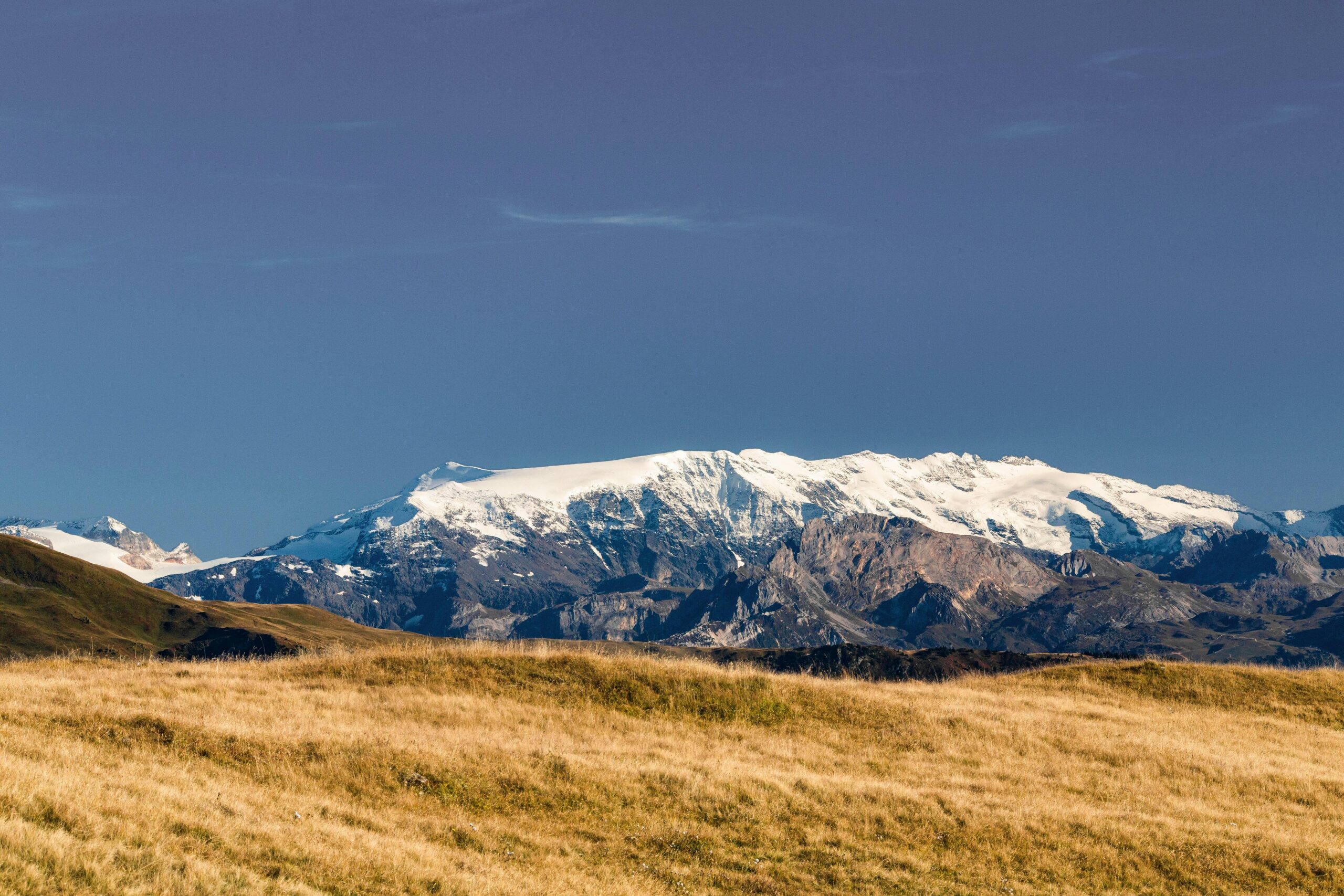
When you’re navigating challenging mountain terrain, every meter of elevation matters. Whether you’re a professional mountaineer planning your next summit attempt, a trail runner tracking performance metrics, or a geographic surveyor collecting crucial data, elevation accuracy can mean the difference between success and failure—or worse, between safety and danger.
Elevation errors manifest in various forms, from simple GPS inaccuracies to complex atmospheric interference. These discrepancies aren’t merely technical annoyances; they affect route planning, emergency response coordination, fitness tracking, and scientific research. Understanding why these errors occur and how to fix them is essential knowledge for anyone serious about mountain activities.
The harsh reality is that consumer-grade GPS devices can be off by 10 to 400 feet in vertical measurements, depending on conditions. In mountainous terrain where weather changes rapidly and terrain features create signal obstacles, these errors compound significantly. Professional-grade equipment performs better but isn’t immune to challenges inherent in high-altitude environments.
The Science Behind Elevation Measurement Failures
GPS satellites calculate your position using trilateration, but elevation is inherently less accurate than horizontal positioning. While horizontal accuracy might reach 3-5 meters under good conditions, vertical accuracy typically ranges from 5-15 meters—and that’s in ideal circumstances. Mountains create anything but ideal circumstances.
Satellite geometry plays a crucial role in measurement quality. GPS receivers need clear lines of sight to multiple satellites positioned at different angles. Mountain valleys, cliff faces, and dense forests create signal obstruction that limits the number of satellites your device can “see.” When satellites are clustered in one part of the sky rather than evenly distributed, geometric dilution of precision (GDOP) increases, degrading accuracy.
Atmospheric conditions further complicate measurements. The ionosphere and troposphere refract GPS signals, causing delays that translate into positioning errors. These effects intensify at higher elevations where atmospheric pressure decreases and temperature gradients become more extreme. Water vapor content, which varies dramatically in mountain weather systems, introduces additional signal delay that algorithms struggle to compensate for accurately.
Barometric Pressure: The Double-Edged Sword
Many modern devices combine GPS with barometric altimeters to improve elevation accuracy. Barometric sensors measure atmospheric pressure, which correlates with altitude. In theory, this hybrid approach delivers superior results. In practice, it introduces new complications.
Barometric altimeters excel at detecting relative elevation changes—they’re sensitive to movements as small as 30 centimeters. However, they require calibration to a known elevation reference point, and their readings drift as weather systems move through. A passing storm front can alter atmospheric pressure enough to create phantom elevation gains or losses of hundreds of meters.
Temperature variations affect barometric sensors too. As you climb from a warm valley into freezing high-altitude conditions, temperature-induced pressure changes must be distinguished from altitude-related pressure changes. Sophisticated algorithms attempt this separation, but none are perfect, especially during rapid weather transitions common in mountain environments.
Identifying Common Elevation Error Patterns in the Field
Recognizing erroneous elevation data requires vigilance and experience. Certain patterns signal measurement problems that demand attention before they compromise your activity or safety.
Sudden jumps in elevation readings without corresponding terrain changes indicate GPS signal problems. If your device shows you’ve ascended 50 meters while walking across flat terrain, you’re likely experiencing satellite constellation changes or signal multipath errors where signals bounce off rock faces before reaching your receiver.
Gradual drift in barometric elevation, particularly during prolonged stationary periods, points to weather-system pressure changes. If your elevation reading slowly increases or decreases while you’re resting at camp, recalibration is needed. Smart devices attempt automatic correction, but manual verification against known benchmarks provides greater reliability.
Excessive noise in elevation data—where readings fluctuate wildly over short periods—suggests poor satellite geometry, atmospheric interference, or sensor malfunction. Clean elevation profiles show smooth curves corresponding to terrain features; noisy data appears jagged and erratic, making it difficult to track actual elevation changes.
Professional Techniques for Real-Time Error Correction
Fixing elevation errors in the field requires both technological tools and practical fieldcraft. Professionals employ multiple strategies simultaneously to maintain accuracy throughout their mountain activities.
Strategic Calibration at Known Reference Points
The single most effective technique for maintaining elevation accuracy is regular calibration at verified reference points. Topographic maps, surveying markers, trail signage, and digital elevation models provide known elevation data for comparison.
Begin every mountain activity by calibrating your device at the trailhead or a marked benchmark. During extended trips, recalibrate whenever you cross marked points—summits, passes, trail junctions with elevation signs, or surveyed locations. This discipline prevents accumulated error from rendering your data useless.
Digital applications with extensive databases of known elevations streamline this process. When you identify your location, the app can suggest the correct elevation and prompt recalibration. Some advanced systems perform automatic calibration when they detect you’ve reached a known landmark, though manual verification remains wise.
Leveraging Multi-Source Data Fusion
Modern devices increasingly employ sensor fusion, combining GPS, barometric, accelerometer, and gyroscope data to calculate elevation. Understanding how to optimize these systems improves results dramatically.
Enable all available positioning systems—GPS, GLONASS, Galileo, BeiDou—to maximize satellite visibility in mountain terrain. More satellites mean better geometric diversity and improved accuracy, particularly in valleys and near cliff faces where signal obstruction is severe.
Configure your device to prioritize barometric data for short-term elevation changes while using GPS for long-term reference correction. This hybrid approach captures the barometer’s sensitivity to relative changes while preventing the drift that plagues pure pressure-based systems.
Some devices allow manual adjustment of sensor weighting. In stable weather, increase barometric influence; when storms approach, shift toward GPS dominance. This active management requires weather awareness but delivers superior accuracy compared to fixed algorithms.
Post-Activity Data Correction and Refinement
Even with careful field techniques, recorded elevation data often requires post-processing for maximum accuracy. Several approaches correct errors after your activity concludes.
Digital Elevation Model (DEM) Correction
Digital elevation models are geographic databases containing highly accurate elevation data at regular intervals. Many fitness and mapping platforms offer DEM correction, which replaces your device’s recorded elevations with values from these authoritative databases.
The process matches your horizontal GPS track to the DEM, extracting elevation values at each point along your route. This technique eliminates most GPS and barometric errors, delivering elevation profiles that accurately reflect terrain. However, it requires that your horizontal track be reasonably accurate, as horizontal errors translate into elevation inaccuracies when matched to the DEM.
DEM correction works brilliantly for trails and established routes but struggles in technical climbing situations where your actual path differs from surface terrain—think overhanging rock faces or exposed ridges where you traverse above or below the topographic surface.
Smoothing Algorithms and Statistical Filtering
Raw elevation data contains noise from momentary signal variations and sensor fluctuations. Smoothing algorithms reduce this noise, revealing the underlying elevation profile.
Moving average filters replace each elevation point with the average of surrounding points, smoothing out random fluctuations while preserving overall trends. The window size determines how aggressively the algorithm smooths—larger windows remove more noise but may also eliminate legitimate small-scale terrain features.
Kalman filtering, a more sophisticated approach used in professional surveying and aviation, predicts elevation based on both current measurements and historical data trends. This technique excels at distinguishing actual elevation changes from sensor noise, particularly when properly tuned for mountain terrain characteristics.
Equipment Selection for Maximum Elevation Accuracy
Not all devices deliver equal elevation performance. Understanding specifications and capabilities helps you select equipment appropriate for your accuracy requirements and budget constraints.
Consumer smartwatches and fitness trackers typically achieve 5-10 meter elevation accuracy under good conditions, degrading to 15-30 meters in challenging mountain terrain. These devices suffice for recreational hiking and general fitness tracking but fall short for technical mountaineering or surveying applications.
Dedicated GPS devices from outdoor-focused manufacturers incorporate better antennas, more sophisticated sensor fusion algorithms, and ruggedized barometric sensors. These units commonly achieve 3-5 meter accuracy in mountains, with some high-end models reaching 1-2 meter precision when properly calibrated and operated.
Professional surveying equipment employing real-time kinematic (RTK) GPS or differential correction can achieve centimeter-level accuracy, even in elevation. However, these systems cost thousands of dollars, require specialized training, and often need base station support or correction data services—making them impractical for most mountain activities.
📱 Smartphone Capabilities and Limitations
Modern smartphones pack impressive positioning technology into compact packages, but their elevation performance varies widely based on manufacturer, model, and sensor suite.
High-end smartphones with barometric sensors deliver respectable elevation accuracy—often 5-15 meters after calibration—making them viable for many mountain activities. Budget models lacking pressure sensors rely solely on GPS elevation, which typically produces 10-30 meter accuracy in mountains.
Smartphone battery life limits extended backcountry use, and touchscreens become difficult to operate with gloves in cold conditions. Nevertheless, their mapping capabilities, cellular connectivity (where available), and affordability make them valuable tools when their limitations are understood and accommodated.
Weather Awareness and Its Impact on Elevation Measurements
Atmospheric conditions profoundly affect elevation accuracy, yet many mountain enthusiasts overlook this connection. Developing weather awareness specific to positioning accuracy enhances your ability to collect reliable data.
Approaching weather fronts create pressure gradients that cause barometric elevation readings to drift significantly. A dropping barometer makes your device report increasing elevation even when stationary; rising pressure creates phantom descents. During active weather, recalibrate frequently or rely more heavily on GPS-derived elevation despite its limitations.
Temperature inversions common in mountain valleys create unusual atmospheric density profiles that affect both barometric and GPS measurements. Signals passing through these layers experience refraction different from standard atmospheric models, introducing errors that algorithms don’t anticipate.
Lightning storms create ionospheric disturbances that degrade GPS accuracy substantially. The same electrical activity that makes storms dangerous also disrupts satellite signals. When thunderstorms threaten, prioritize safety over data collection—both for obvious reasons and because your measurements will likely be unreliable anyway.
Practical Workflow for Expedition-Grade Elevation Tracking
Serious mountaineers and researchers develop systematic workflows that maximize elevation accuracy throughout multi-day mountain expeditions. These protocols balance precision requirements against practical field constraints.
Begin each day with device calibration at camp, using the previous evening’s calibrated elevation as reference. Record this baseline in a field notebook as backup should electronic data fail. During movement, mark waypoints at all identifiable features with known elevations—stream crossings shown on maps, trail junctions with signs, or surveyed benchmarks.
At major decision points—determining which couloir to climb, selecting a bivouac site, or calling for helicopter evacuation—verify your elevation using multiple independent methods. Cross-reference GPS readings with map-based estimates from surrounding terrain features. If life-safety decisions depend on elevation data, invest the time for thorough verification.
Each evening, download the day’s data and perform preliminary analysis. Check for obvious errors, noting them in your field log along with potential causes—weather events, device issues, unusual terrain. This nightly review identifies problems while memory remains fresh, improving your ability to correct errors during post-expedition processing.
🎯 Advanced Tactics for Technical Mountain Environments
Extreme mountain environments—vertical rock faces, ice climbing routes, high-altitude peaks—present unique challenges requiring specialized approaches to elevation tracking.
When climbing above your GPS device’s mounting location, account for the offset between sensor position and your actual location. A device on your pack reads elevation at pack level, not at your hands on rock 3 meters higher. In multi-pitch climbing, this offset compounds. Some mountaineers carry lightweight GPS units that can be moved to lead positions for accurate summit elevation capture.
Metal climbing equipment—carabiners, ice screws, pitons—can interfere with GPS signals when clustered near your device. Position GPS units away from metal gear concentrations when accuracy matters most. Carbon fiber equipment racks create less interference than aluminum or steel alternatives.
At extreme altitudes above 6000 meters, both physiological impairment and equipment malfunction rates increase. Simplify your elevation tracking protocol to essential measurements only. Batteries drain faster in extreme cold; keep devices warm inside insulated layers until needed. Accept that some accuracy degradation is inevitable in these environments—prioritize getting critical data points right rather than attempting comprehensive tracking.
Turning Accurate Elevation Data Into Actionable Intelligence
Collecting accurate elevation data serves little purpose without effective analysis and application. Transform raw numbers into insights that improve safety, performance, and mountain understanding.
Calculate accumulated elevation gain and loss throughout your activities. Total elevation statistics reveal effort and difficulty more accurately than simple distance measurements. A 10-kilometer hike with 1500 meters of elevation gain demands vastly more energy than flat terrain covering the same distance.
Analyze your elevation pace—vertical meters per hour—to gauge fitness, identify fatigue patterns, and predict future performance. Tracking elevation pace over time reveals training effectiveness and helps establish realistic goals for challenging objectives.
Compare actual elevation profiles against planned routes to identify navigation accuracy. Significant deviations between intended and actual elevation patterns may indicate you’ve strayed from your route—critical information for getting back on track before small navigational errors become serious problems.
For repeated ascents of the same peaks or routes, compare elevation profiles across attempts. Variations reveal different route choices, changing snow conditions affecting travel efficiency, or inconsistencies suggesting measurement problems worth investigating.
Building Elevation Accuracy Skills Through Deliberate Practice
Mastering elevation measurement requires more than equipment knowledge—it demands practiced skills developed through intentional training and experience.
Conduct training exercises on familiar terrain with known elevation features. Compare your device readings against authoritative sources, deliberately creating scenarios that challenge measurement systems—dense forest, narrow valleys, storm conditions. This practice develops intuition for recognizing measurement problems before they cause issues in critical situations.
Learn to estimate elevation gain and loss through terrain observation and map reading. Count contour lines, recognize landscape features associated with elevation change, and calculate vertical distances from horizontal map measurements and slope angles. These traditional skills provide independent verification when electronic systems produce questionable data.
Study how professional surveyors and research scientists approach elevation measurement in challenging environments. Academic papers, technical forums, and surveying publications offer insights into sophisticated techniques adaptable to mountain recreation and exploration.
The Future of Elevation Measurement in Mountain Terrain
Emerging technologies promise improved elevation accuracy, though none eliminate the need for skilled operation and critical thinking.
Multi-frequency GNSS receivers that process signals at multiple wavelengths achieve better atmospheric correction, potentially delivering sub-meter accuracy in civilian applications previously requiring specialized equipment. As these capabilities filter into consumer devices, mountain elevation tracking will improve substantially.
Artificial intelligence and machine learning algorithms show promise for sophisticated sensor fusion and error detection. These systems learn terrain-specific patterns and atmospheric effects, adapting their calculations to local conditions more effectively than static algorithms. Early implementations demonstrate impressive results, particularly in complex mountainous environments.
Crowd-sourced elevation data from millions of mountain users creates vast databases of real-world measurements. Collaborative filtering identifies systematic errors and refines elevation models. As these datasets grow and analysis techniques mature, all users benefit from collective measurement efforts—a positive feedback loop improving accuracy for everyone.
Despite technological advances, fundamental physical limitations remain. Satellite geometry constraints, atmospheric effects, and weather variability won’t disappear. The most capable future systems will still require user understanding, proper calibration, and thoughtful interpretation—reminding us that technology amplifies skill rather than replacing it.
Mastering elevation accuracy in challenging mountain terrain ultimately combines quality equipment, sound technique, weather awareness, and analytical thinking. No single tool or method guarantees perfect measurements, but systematic application of multiple strategies delivers the reliability that serious mountain activities demand. Whether your goal is summit success, scientific data collection, or simply understanding the vertical world you travel through, investing in elevation measurement mastery pays dividends in safety, performance, and mountain experience. The peaks await those prepared to measure them accurately. 🏔️


